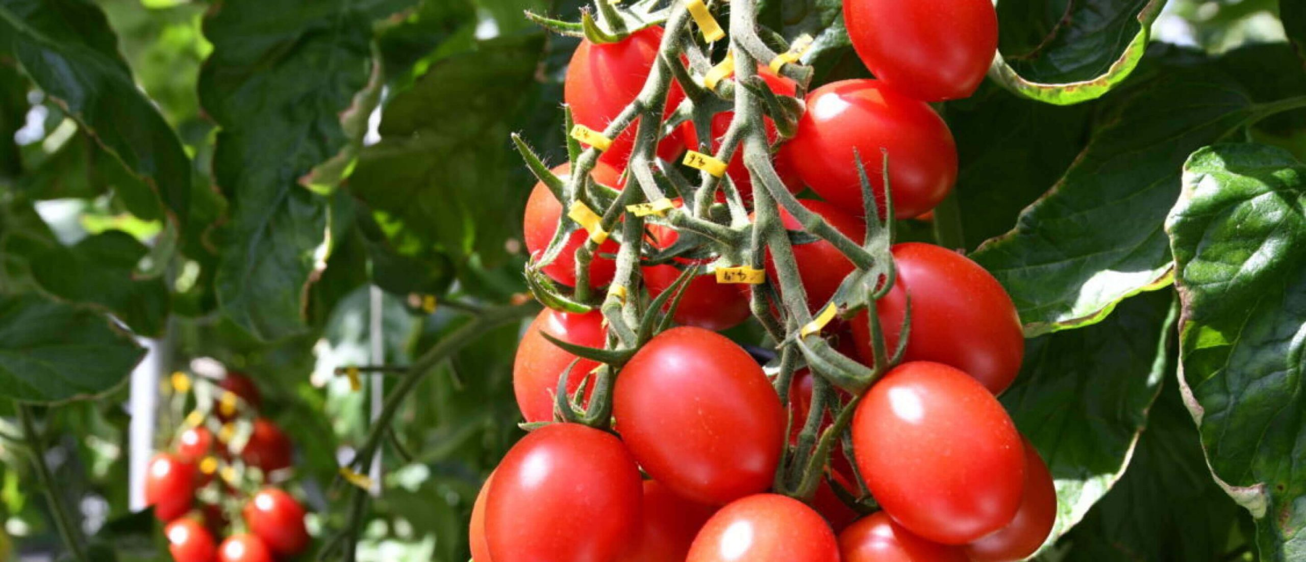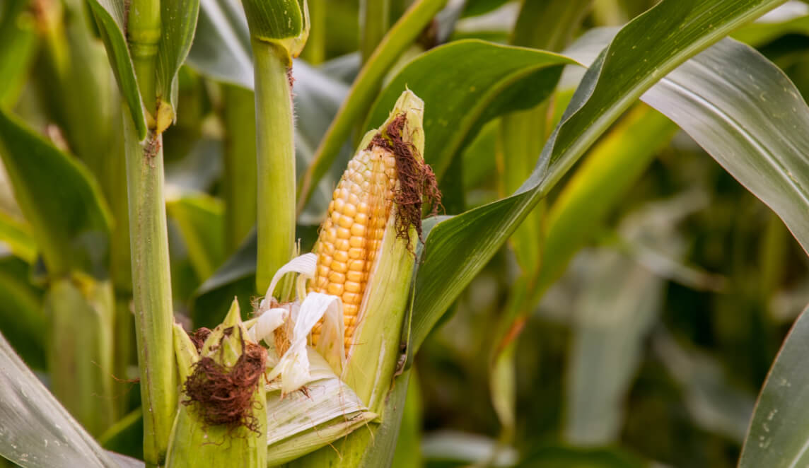
A digital twin of Iowa’s Corn Belt promises to make crop forecasts more accurate and climate-responsive

When Dr. Cynthia Rosenzweig set her sights on building a better method for forecasting crop yields, she was determined to do it alongside the most important stakeholders of all – farmers.
“We can’t help farmers get ready for climate change without their help in building relevant and robust crop models,” says Rosenzweig.
That vision led her to co-found the Agricultural Model Intercomparison and Improvement Project (AgMIP) in 2010. More than a decade on, AgMIP is partnering with the Iowa Corn Growers Association to unveil one of its most ambitious pilot projects to date: a digital twin of the state’s agricultural regions.
A virtual doppelganger, the digital twin uses crop modeling, remote sensing, and artificial intelligence to improve the accuracy of agricultural yield forecasts under current and future climate conditions. AgMIP researchers believe the digital twin will improve the data quality and representation of climate responses that inform crop forecasts, enabling farmers in Iowa to mount more effective responses to climate and other environmental challenges.
Digital twins could foster greater resilience as the severity, duration, and frequency of climate events intensify.”
Iowa is just the start. AgMIP would like farming regions across the US and throughout the world to have digital twins, which could foster greater resilience as the severity, duration, and frequency of climate events intensify.
To see how the three elements of the digital twin prototype come together, see below.

Crop models simulate the daily growth of a crop under current and future soil conditions, while factoring in changes in seed genetics, farm management, and weather. The more robust the datasets, the greater our understanding of agricultural climate risks and how to manage them.
The images below show corn and soybean model yields for the driest and wettest conditions in Central Iowa at a 30-meter resolution.
Source: Alex Ruane and Luke Monhollon with contributions from NASA Scientific Visualization Studio

Remote sensors on NASA satellites gather information on soil moisture, vegetation greenness, and other datasets that inform crop forecasts. These instruments can see things the human eye cannot, enabling NASA scientists to analyze crop conditions on a regional scale and display what they gather on maps. The result is a spatial view of how climate extremes impact agricultural regions. The digital twin uses this information to represent conditions in the field more accurately. Remote sensing in 2012 shows vegetation health has suffered in a dry year in large areas of the US, indicated by the brown/ yellow NDVI anomaly.
Source: MODIS, NASA Scientific Visualization Studio

Machine learning algorithms analyze and compare datasets gathered from crop models, remote sensing, and field observations of weather, crop yields, and other factors. AI helps AgMIP researchers identify crop model weaknesses to build better crop forecasting systems.
This image shows how machine learning identified extreme precipitation and frost events as areas for further crop model development in Iowa’s corn belt.
Source: Infographic developed by Maria Dombrov and Natalie Kozlowski, Columbia University Center for Climate Systems Research

AgMIP combines crop models, remote sensing, and machine learning with different observed weather patterns and climate projections. Together, these form a digital twin of an agricultural region. This valuable tool can support decision-making and help farmers proactively manage climate risks.
This image is a conceptualized prototype of a digital twin for Iowa’s agricultural regions.
Source: Infographic developed by Natalie Kozlowski and Maria Dombrov, Columbia University Center for Climate Systems Research